
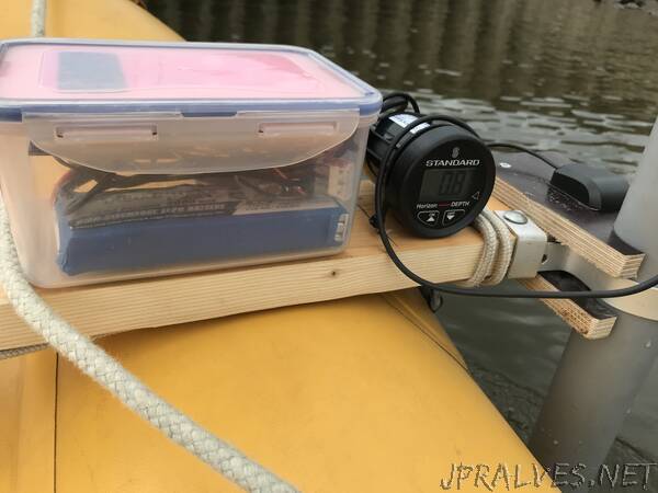
“A simple Arduino based logger for depth mapping of water bodies. Using cheap and simple hardware like a GPS module, an SD card and a standard NMEA capable echolot sounder. The data is then transformed into a depth map with depth contours using python and matplotlib.
The harbour I mapped has an area of around 40.000m^2 and the water level changes 4 meters every 6 hours with the tides. As the measurement took around 1,5 hours, I had to take this tidal change into account and I used data from a Wasser&Schiffahrsamt water level. The logger writes depth data every 1 second but checks for valid GPS/depth synchronization before. This led to some missed datapoints in the log. Anyway the result is ok and shows the shallow spots in the harbour.
The process looks like this:
- Take measurements with the logging device of the water body
- Take tidal data from a near by Wasser&Schiffahrsamt water level and bring it into a format like the example
- Take the data from SD card and import it in the python script.
- adapt the normal water level to get a calibrated output (like it in official marine maps)
- run the script and save the map (the route of the test-vehicle can be disabled in line 70)
Improvements:
- some minor glitches in the Arduino code stop the logger from logging to the SD
- the map interpolation is not 100% right and needs some tweaking
- the map interpolation needs a zero line round the measurements to prevent false data in the border areas
- the Wasser&Schiffahrtsampt water level data should be read automatically OR even better should be replaced with an on-site reference level”