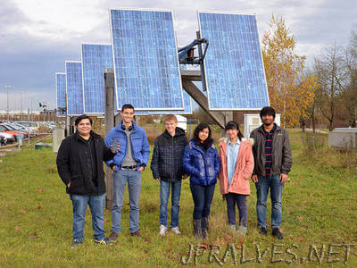
“How much electricity flows through the grid? When and where? Where are the bottlenecks? What happens when wind turbines and solar cells feed in additional energy? The answer to these questions are essential for the global energy turnaround. However, for a valid planning, one first needs a solid understanding of the infrastructure. Researchers at the Technical University of Munich (TUM) are now collecting information via an open source platform accessible to everyone. Hundreds of volunteers are already underway, and their numbers are growing every day. Armed with the OpenGridMap app on their smart phones, they meander through Munich, Berlin, Tokyo and even Teheran. Just another cell phone game? “No, we aren’t chasing Pokémons,” reassures Jose Rivera, director of the OpenGridMap project. “What we are interested in is the electrical infrastructure: High-voltage and low-voltage power lines, transformer sub-stations, wind turbines and solar power plants.” Users of the app share photos and locations with a server housed in the Department of Computer Science at TU Munich. There, the information is analyzed, evaluated and ultimately loaded into the open source OpenStreetMap map system.”
